Another Walk in the Pentlands
- hiking scotland maps
It was another fine hot Scottish summer day (20°C and sunny) and I took a few buses toward the south east corner of the Pentlands National Park. With good connections the trip should take a bit longer than an hour, but I missed the final bus by seconds and had no idea when and if there was another bus coming. Sitting at the bus stop and mulling over my options
a guy came along and asked me if I was going to P… . I didn’t know what he was talking about but I figured he must have overheard me asking for a bus timetable at the petrol station next to the bus stop. Turned out he hadn’t. He was on his way to some festival in the Scottish Borders and meant to pick up some people at my bus stop. Luckily, none of them had showed up, and he was going to take the same route as my bus, so I happily accepted the lift he actually never offered. He tried to make the best of it by talking about the festival which sounded really fun (they are burning a wickerman!) and inviting me along. But then he casually mentioned the 6 person tent and the double mattress he had all to himself, and I was suddenly determined to do my walk after all.
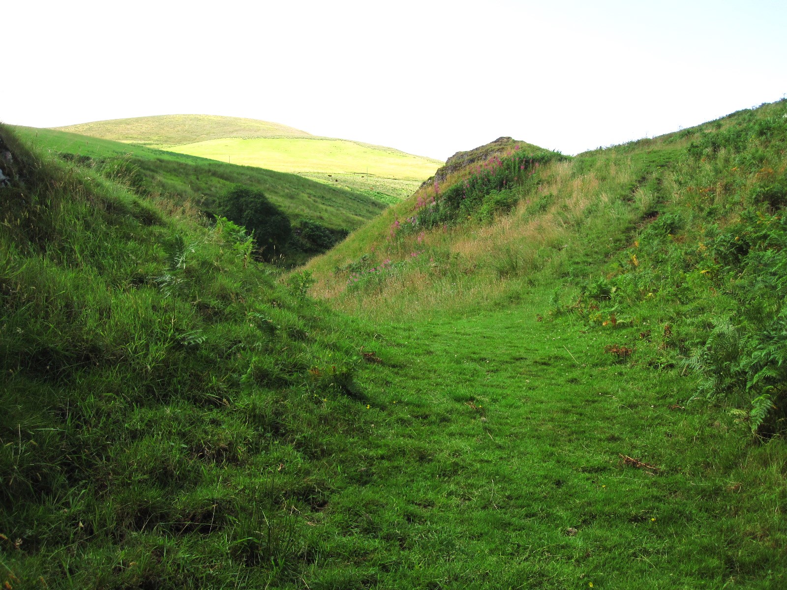
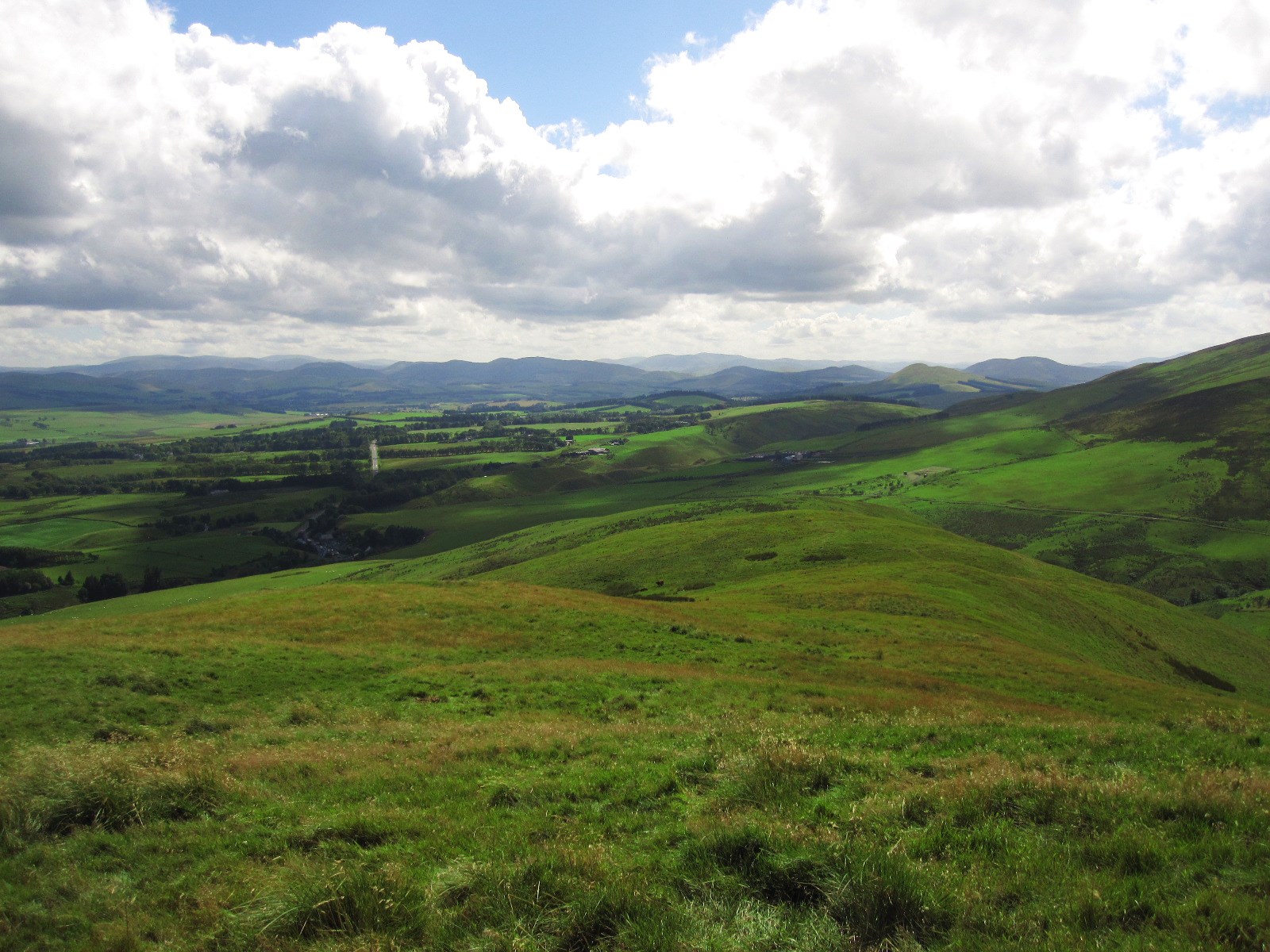
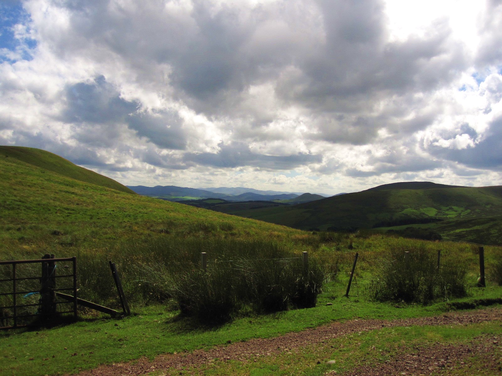
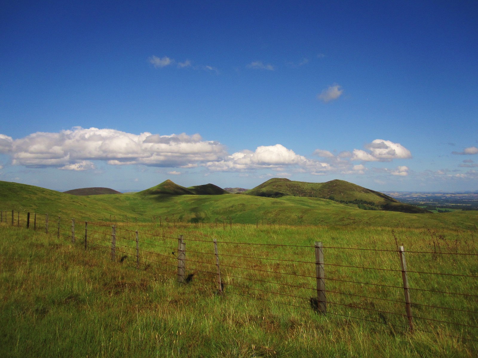
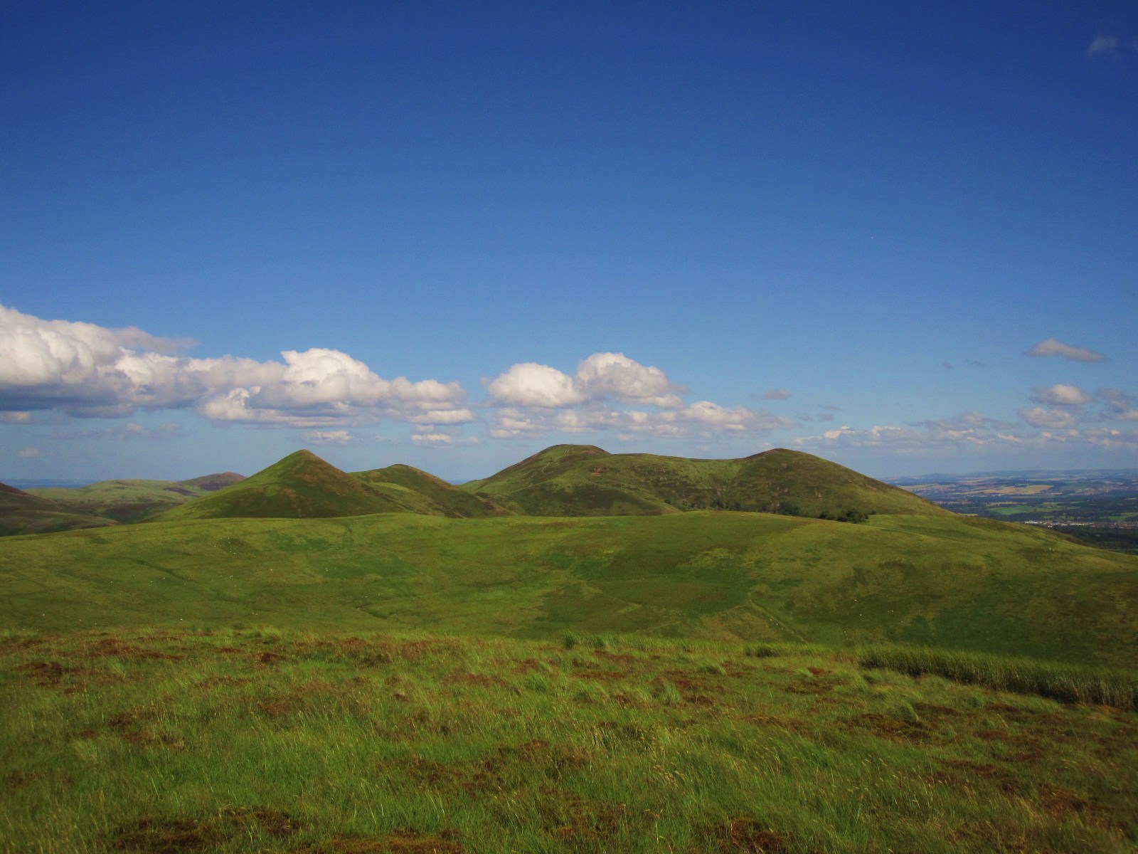
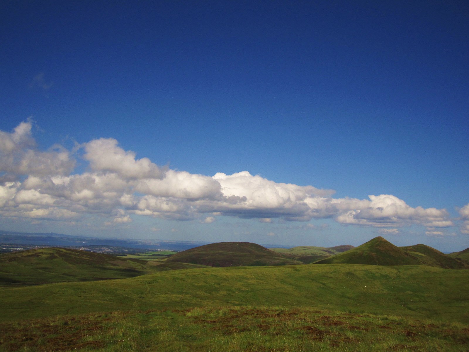
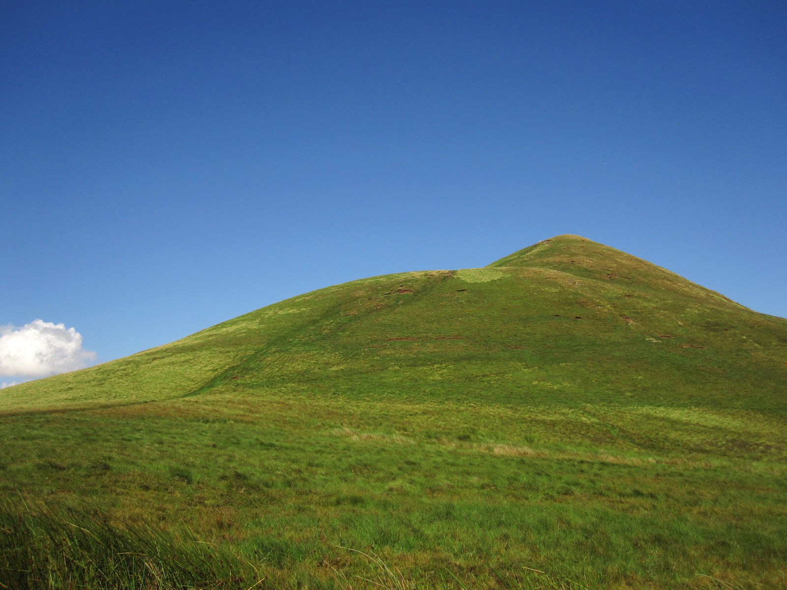
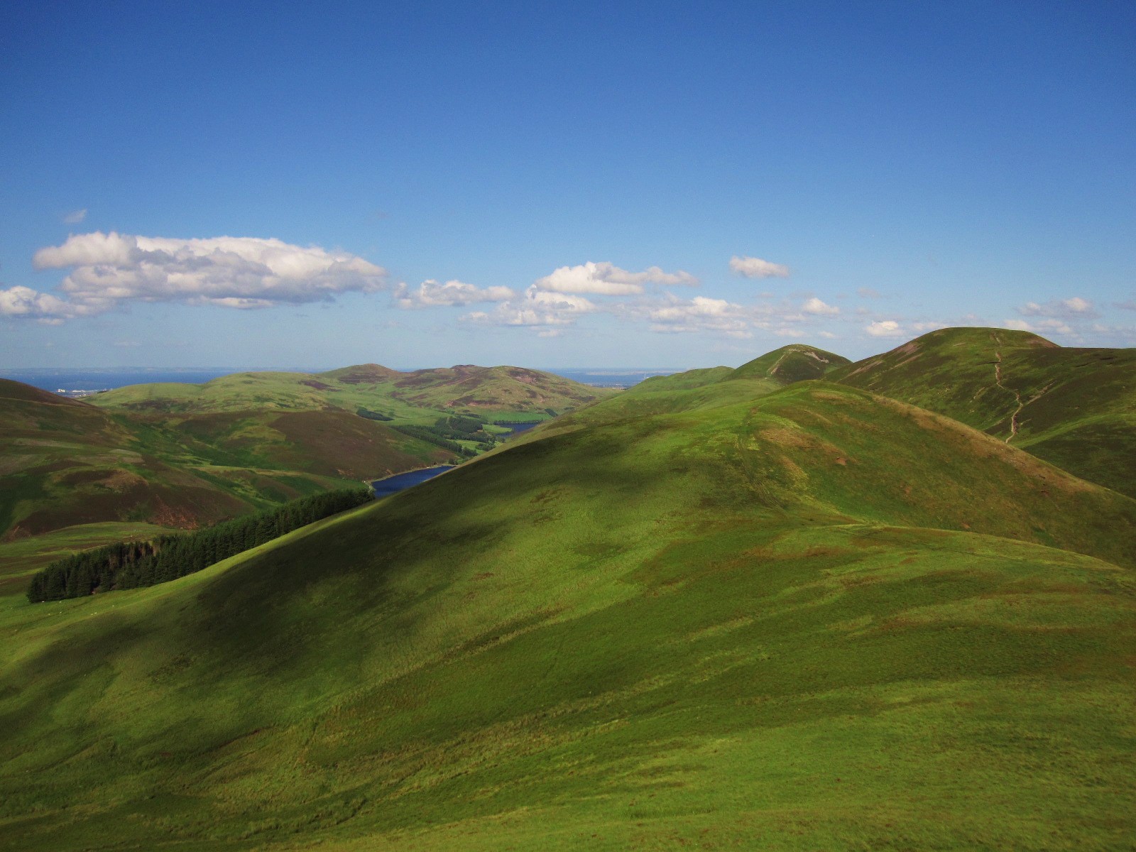
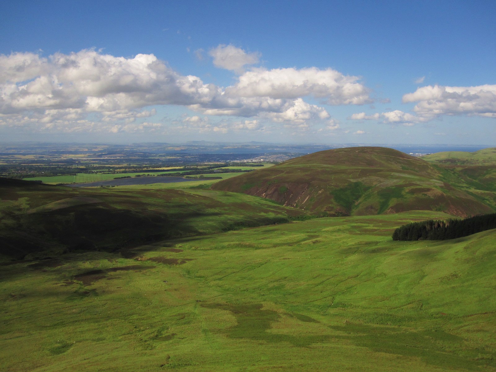
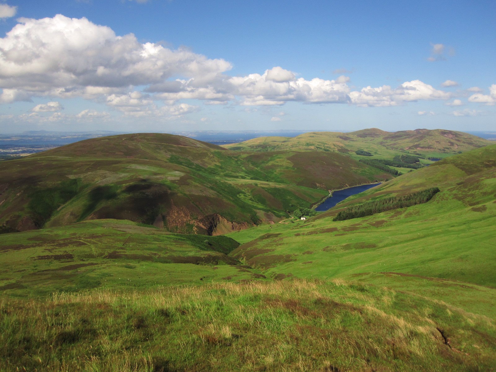
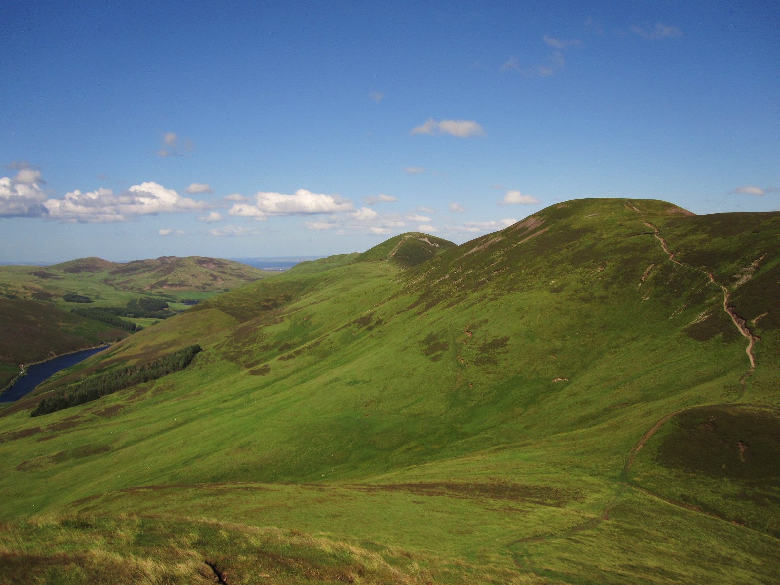
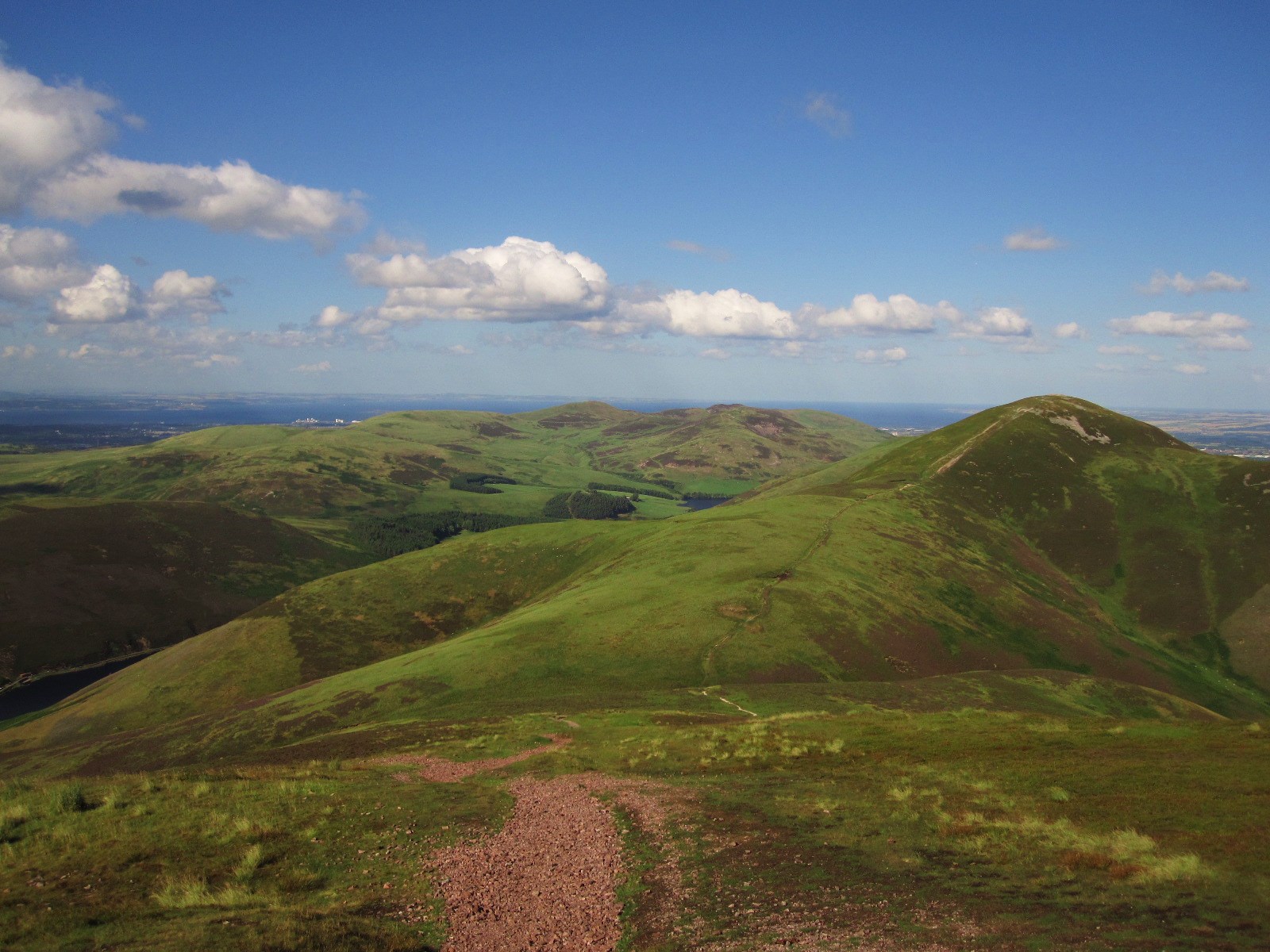
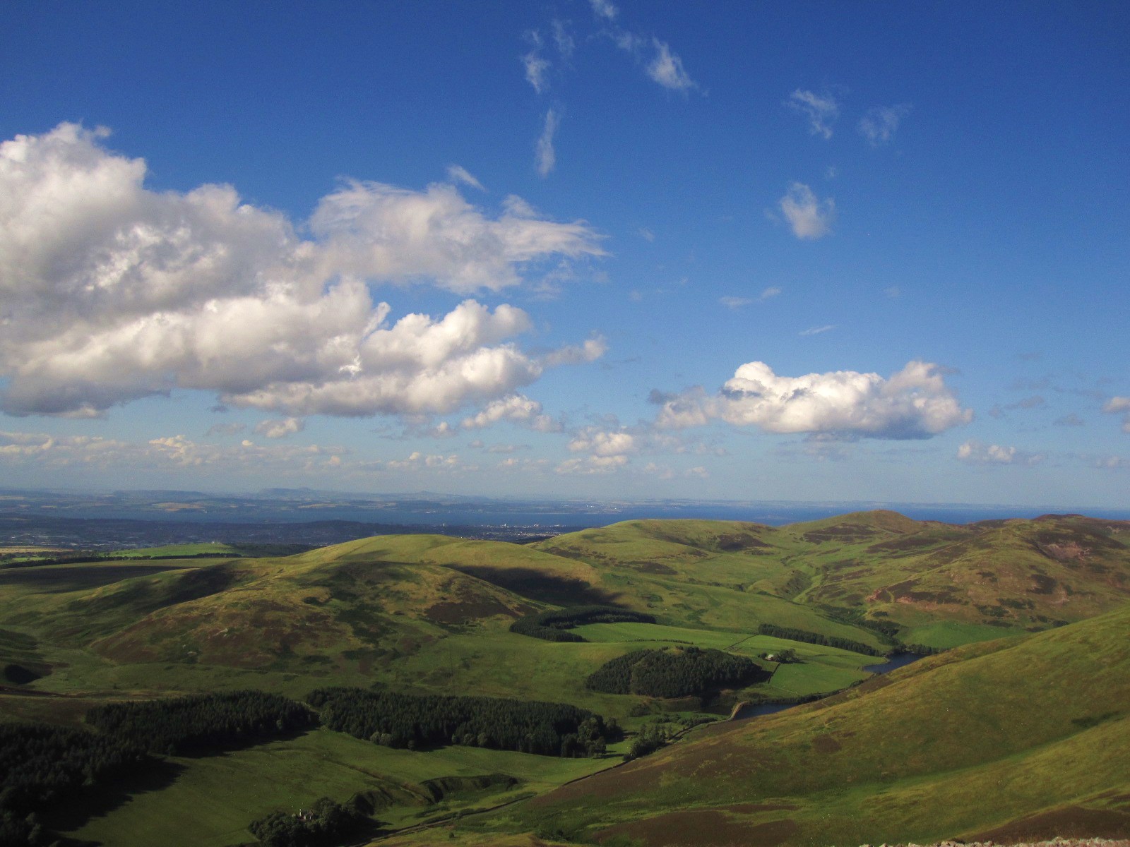
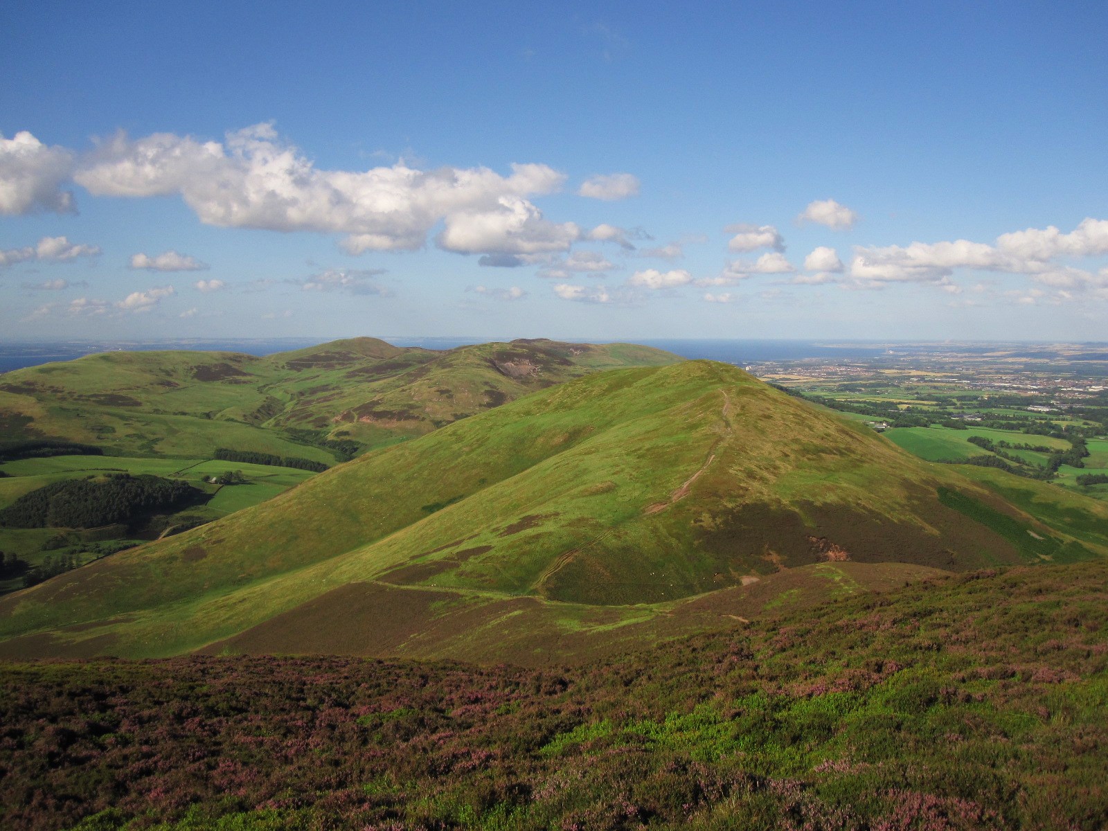
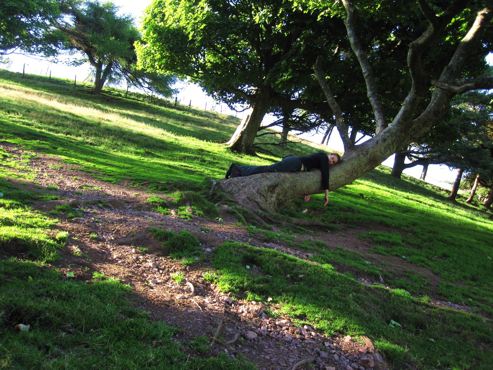
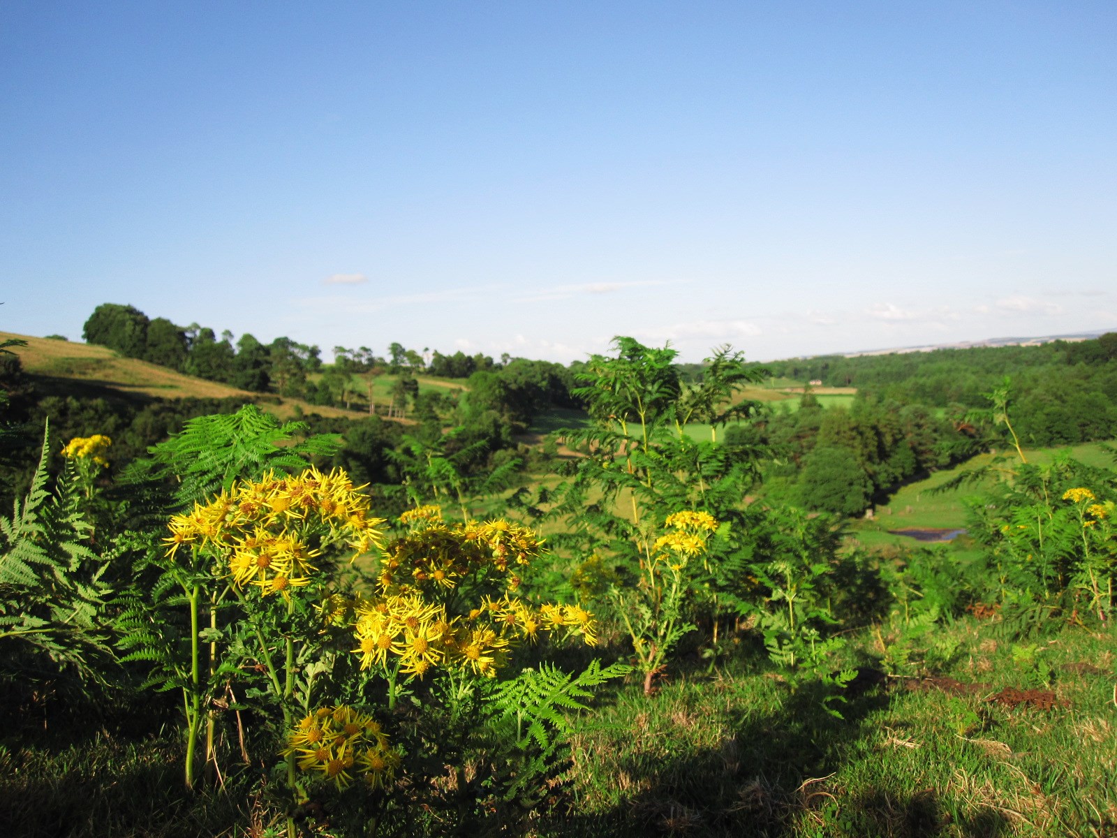
I started off with a nice cup of tea at the Allan Ramsay Hotel, the only pub in the tiny village of Carlops, before I left civilisation and entered Pentlands National Park just behind the houses. Climbing Patie’s Hill (~470m) was quite a gentle stroll and put me in my walking mindset right away, as it felt like being back in the hills of Peebles. I followed the ridge over Greystone Head (526m) and Green Law (529m) before it went downhill for a bit, and I braced myself for West and East Kip (551 and 534m) and the highest hill of the Pentlands, Scald Law (579m). From here, it went up and down a lot. While it was still mostly sunny the wind had picked up and blew quite strongly now, and climbing the exposed pointy top of West Kip was more like a crawl. I was considering to abort the walk here but East Kip and Scald Law didn’t look as steep, and even if I was blown away I’d just roll down a gentle grassy slope, so I figured I’d be fine. After Scald Law came Carnethy Hill (573m) with a massive cairn on top, Turnhouse Hill (506m), and with a view of the Glencorse Reservoir the descent down towards and along the Glencorse Burn to the Flotterstone Inn. This last bit after Turnhouse Hill is very pretty, with a few trees, protected from wind but sunny, and great for short walks with picnic starting from the Flotterstone Inn. I don’t know why I love this name so much. Flotterstone. Flotterstone. Flotterstone.
Unfortunately, the bus service from here didn’t run this particular day, so I started walking along the road towards Edinburgh which wasn’t too bad, since there wasn’t a whole lot of traffic. A mile or so further up I found another bus stop with a very dated timetable, but I sat down and after 20 minutes or so a bus showed up and took me to the city.
Check out my new mad GIS skills and have a look at the map below. It has some pictures and information embedded.
View Larger Map
Edit: I’m not happy with my map since the images only show up after clicking. Therefore, I’ll put them in the post as well.